The Glacier ListLocal field guide

Field notes · Quieter ground

Beyondthe obvious

Three things the valley mostly keeps to itself: a wild berry nobody has managed to farm, a reservoir that visitors drive straight past, and a wilderness that asks more of you than a national park does.

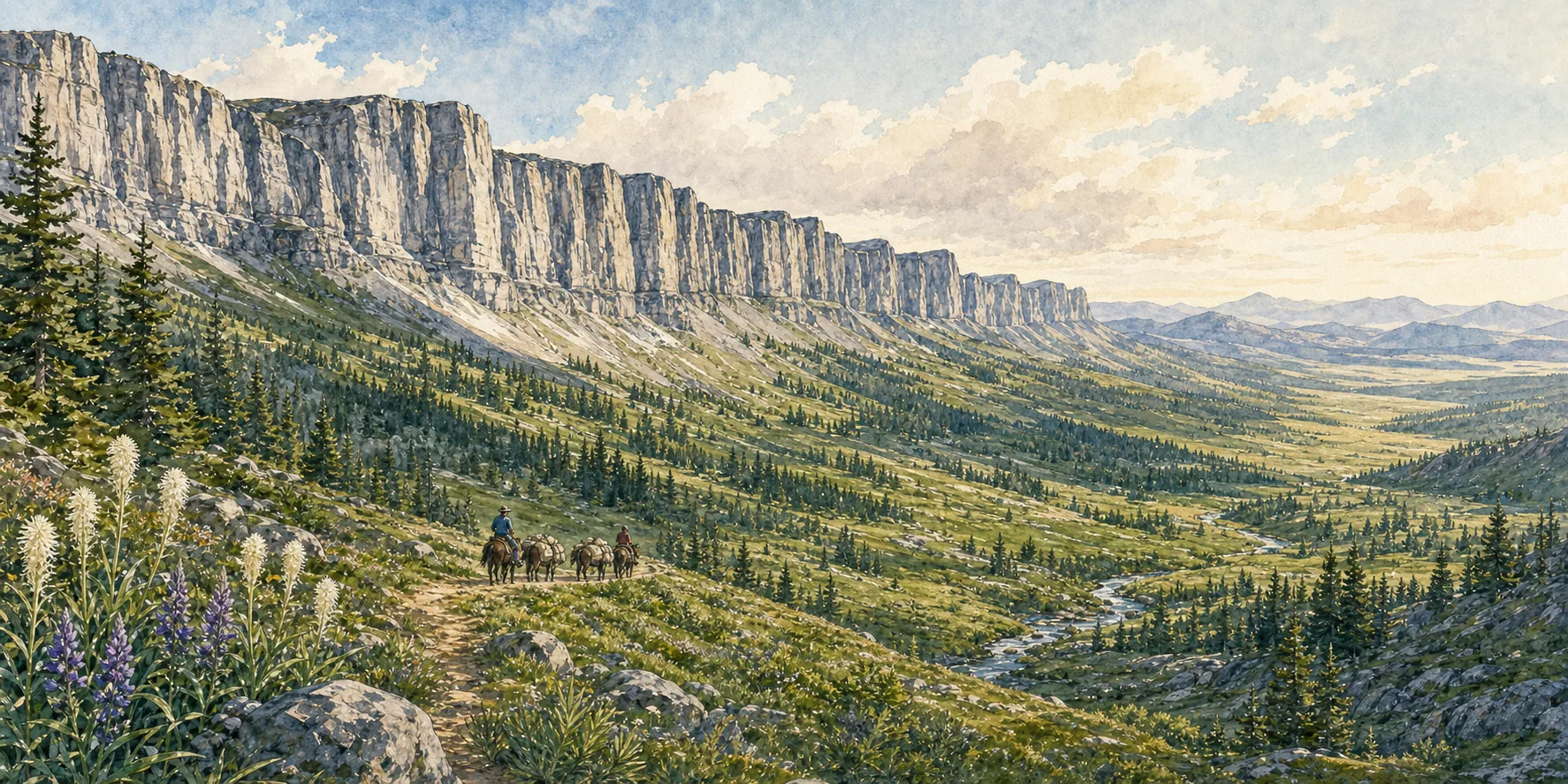
Watercolor of the Chinese Wall escarpment in the Bob Marshall Wilderness with a horse-pack string on the trail below
Quieter ground

Worth knowing. Not worth rushing.

Glacier, Whitefish, and Flathead Lake have earned their top billing, and nothing here displaces them. This chapter is for the spare day, the second visit, or the traveler who would rather meet the valley on its own terms than work through the obvious list.

Montana in one bite

Still no such thing as a huckleberry farm.

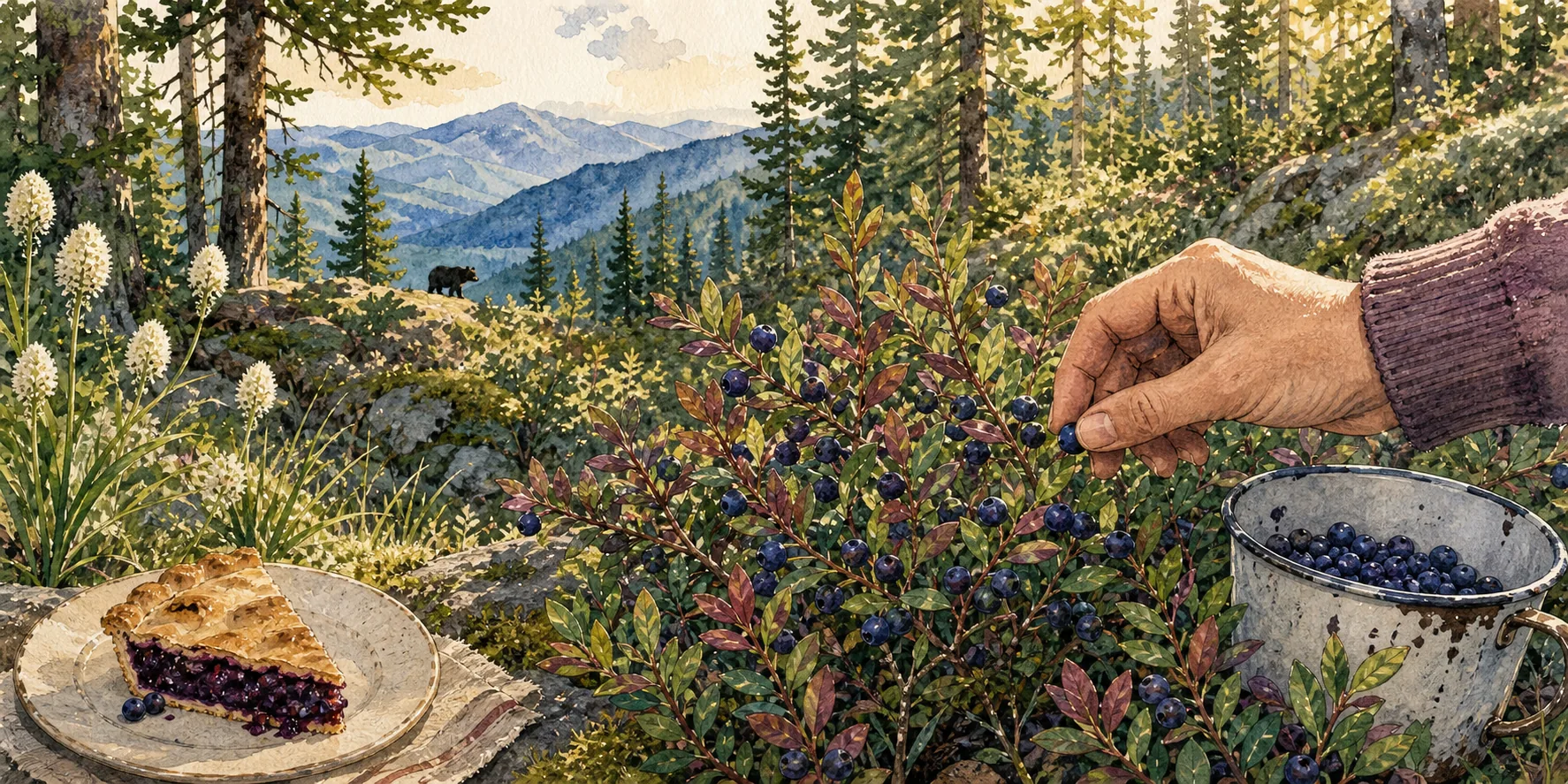
Montana made the huckleberry its official state fruit in 2023, and there is still no commercial huckleberry farm supplying the market. A century of attempts has never produced a cultivar worth planting, the best wild stands yield only about a hundred gallons an acre, and the ground that grows them is steep, high, and awkward to reach. Everything in the valley that tastes of huckleberry was picked by hand, by someone, on a hillside.

Watercolor of a hand picking wild huckleberries into a tin cup, with a slice of huckleberry pie on a plate and a black bear on the ridge beyond
High ground, late summer, and a tin cup that fills far slower than you expect.

Find the flavor

Pie first. Then everything else.

Pie and ice cream are the honest introduction. After that it turns up as preserves on the breakfast table, in pancakes, in a milkshake, in a cocktail. If a menu anywhere in the valley says huckleberry in August, order it.

Picking etiquette

By hand. And modestly.

On the Flathead National Forest no permit is needed for up to ten gallons a person a year. Inside Glacier National Park the limit is one quart per person per day and rakes are prohibited outright, a difference of about forty to one that catches people out. Pick with your fingers rather than a rake, take what you will actually use, and leave plenty on the bush.

Local reality

The crop is never the same twice.

Berries ripen at the low elevations first and follow the warmth uphill, so the window runs from roughly mid-July into September depending on where you are standing, with August the most dependable stretch. Yield and timing swing with snowpack, heat, and late rain. Productive patches are family knowledge, quietly kept, and asking someone outright where they pick is a small social error.

Bears firstA huckleberry patch is not a novelty to a bear, it is the winter calorie budget. Grizzlies and black bears work the same slopes on the same schedule, and the Park Service singles out berry ground as a place to be especially alert. Pick with other people, keep talking while you work, carry bear spray where you can reach it in seconds, and give up the patch if you find fresh sign.
The wild lake behind the wall

Come for the scale of the dam. Continue for the silence beyond it.

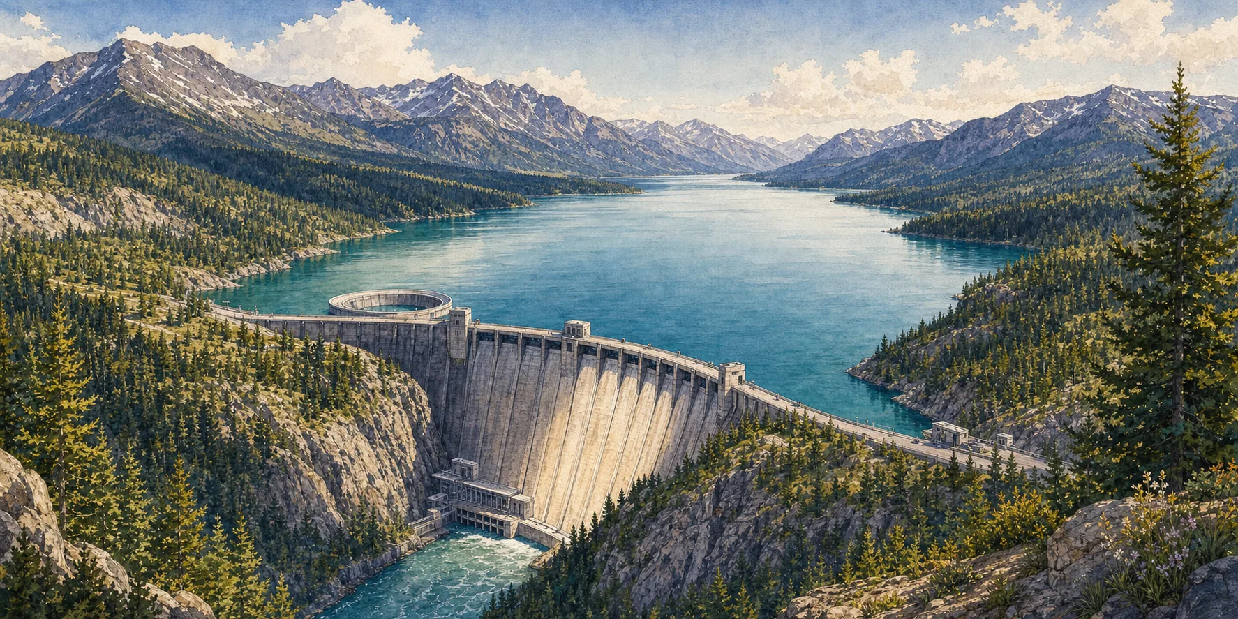
564 feet of concrete closed off the South Fork of the Flathead in 1953, and the lake behind it reaches about 34 miles back into the mountains. Most visitors photograph the dam and turn around. The road keeps going, and that is the part worth the day.

Watercolor of Hungry Horse Dam and its ring spillway, with the reservoir stretching back into forested mountains

The structure

An engineering set piece in the middle of the woods.

The dam: 564 feet high and 2,115 feet along the crest, a thick-arch wall 39 feet wide at the top and as much as 330 feet through at the base. It holds back the South Fork of the Flathead rather than the main river, which is the detail most write-ups get wrong.

The spillway: The morning-glory spillway is the real superlative. Water goes over the rim and falls 490 feet, and both Reclamation and the Park Service call it the highest structure of its kind in the world. Rankings for the dam itself are muddled enough that federal agencies disagree, so admire the spillway instead.

The overlook: The access road leaves Highway 2 at Hungry Horse and runs about 4.5 miles to the north end of the dam. The viewpoint shelter is the dependable stop, and the visitor center has been closed in recent seasons, so confirm before you build a morning around it.

Then keep driving.

Past the dam the pavement gives way and the crowds disappear entirely. The road around the reservoir runs roughly 110 miles, nearly all of it gravel, and it exists only because Reclamation had to replace the Forest Service road the rising water drowned. Three to four hours of driving without stops, which means a full day if you intend to stop at all.

On the water

Boating and fishing

This is native bull trout and westslope cutthroat water rather than a stocked fishery, so the rules are specific and they change. Check current regulations before you fish, and note that bull trout require their own catch card.

In season

Berry country

These are the hillsides the first section is about. Pick where you are allowed to, watch for bears, and do not block the road to do it.

The far end

Spotted Bear

55 gravel miles south of Hungry Horse the road reaches Spotted Bear Ranger Station, the northern doorway to the Bob Marshall. That is where the next section begins, and it is a long drive rather than a scenic detour.

Know before you go.

DistancesEverything is farther than the map suggests. Spotted Bear is 55 miles from Hungry Horse, and most of those miles happen at gravel speed.
RoadsA standard car manages the loop in good summer conditions. Large RVs and long trailers should not attempt it. The east side road closes for wildlife from December into mid-May, and the west side is effectively a summer road. Late summer is both the best driving season and the peak season for fire closures, so check before you commit to the day.
Water levelsThe reservoir is drawn down through the season, so expect wide mudflats and old stumps by late summer. Check ramp conditions before towing a boat, and do not assume the shoreline you saw in June is still there in September.
HoursVisitor facilities and tour schedules change by season and by year. Check current hours with the Bureau of Reclamation before you plan the drive around them. The Reclamation field office at Hungry Horse takes calls on 406-387-5241.
Wilderness earned

Glacier can be visited. The Bob must be entered.

The Bob Marshall, Great Bear, and Scapegoat wildernesses run together across roughly 1.6 million acres, managed under shared direction by three national forests and five ranger districts. The Forest Service calls it the third largest wilderness complex in the lower 48. About 1,700 miles of trail, and no roads at all. The Chinese Wall carries the Continental Divide along its crest and stands roughly a thousand feet above the meadows at its base, and by most route accounts sits some 18 to 21 trail miles from the nearest common trailhead. Big Prairie, the ranger station in the middle of it, is a two-day walk from the nearest road and still gets its supplies by pack string. There is no scenic drive here, no shuttle, and no cell service.

If you are experienced

Plan a real trip.

No permit, quota, or fee is required to walk in, which surprises people. Nothing else about it is casual. Parties are capped at 15, food storage is legally mandatory, bridges are rare enough that fords are routine, and the high passes usually hold snow into early July. The classic Chinese Wall loop out of Benchmark runs about 60 miles and takes five to eight days.

If you want a guide

Go with an outfitter.

Outfitters have packed this country since about 1919 and they get people deeper in than most parties manage alone. Montana licenses the outfitter and the Forest Service permits the operation on a specific district, so confirm both, and treat a permit as authorization rather than a quality rating.

If you are curious, not committed

Look in from the edge.

This is a legitimate choice and more often than not the right one. Drive the reservoir to Spotted Bear, walk in from Meadow Creek for an afternoon, and turn around. You will see the country without turning your holiday into a rescue.

Readiness, honestly.

NavigationMap, compass, and the ability to use both when the trail is buried. Crews still clear those 1,700 miles with crosscut saws and axes, so an early season route on the map may not exist on the ground.
WeatherHigh passes are usually snow free around the Fourth of July, and usually is doing a great deal of work in that sentence. Expect weather in any month, and river crossings that rise with heat and rain.
Stock etiquetteHikers yield to stock. Speak up as soon as you see a string so the animals hear a human voice, step off on the downhill side because a startled horse bolts uphill, keep talking until the last animal is past, and never leave a pack sitting in the trail.
RegulationsFifteen people maximum, 35 head of stock, single file on trail. No bicycles, no e-bikes, no drones, no chainsaws, and no caching supplies for later. Camping is closed year round on the ground directly beneath the Wall. These are enforceable federal prohibitions, not suggestions.
EmergenciesAssume you are the first responder. Carry a satellite messenger, leave an itinerary with somebody who will notice you are late, and understand that help measured in hours beside a road is measured in days out here.
Tap to navigate

Quieter coordinates.

Map links open a Google Maps search. Confirm road status, campground openings, water levels, and current wilderness orders with the managing agency before you go.

Take the long way. Leave some berries.